AoT smart solutions
Smart site control
that starts on a map
Cut the waste out of your resources and build trust on accurate data. No grand equipment, no complicated procedure — start managing your spaces the way you will in future, today.
Services
A guide fitted to
every road you take
We help the people who wake up the value in spatial resources. Whichever road you take — running parks and sports facilities, public safety in transport, or real income from farming — data is the compass, and it points to the surest route.
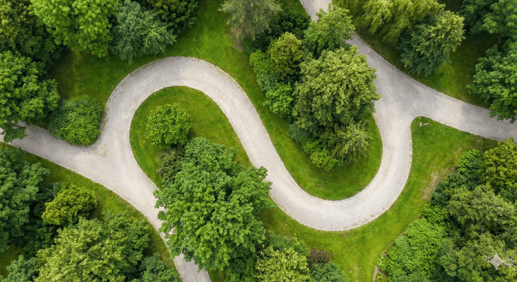
Greener parks and sports facilities
Manage scattered infrastructure assets together on one map, and track environmental change you cannot see using satellite data — so your spaces work harder for you.

A safety net for transport environments
Engineer road and rail safety with data. Live environmental sensing and remote control from a distance close the coverage gaps in your transport safety net.
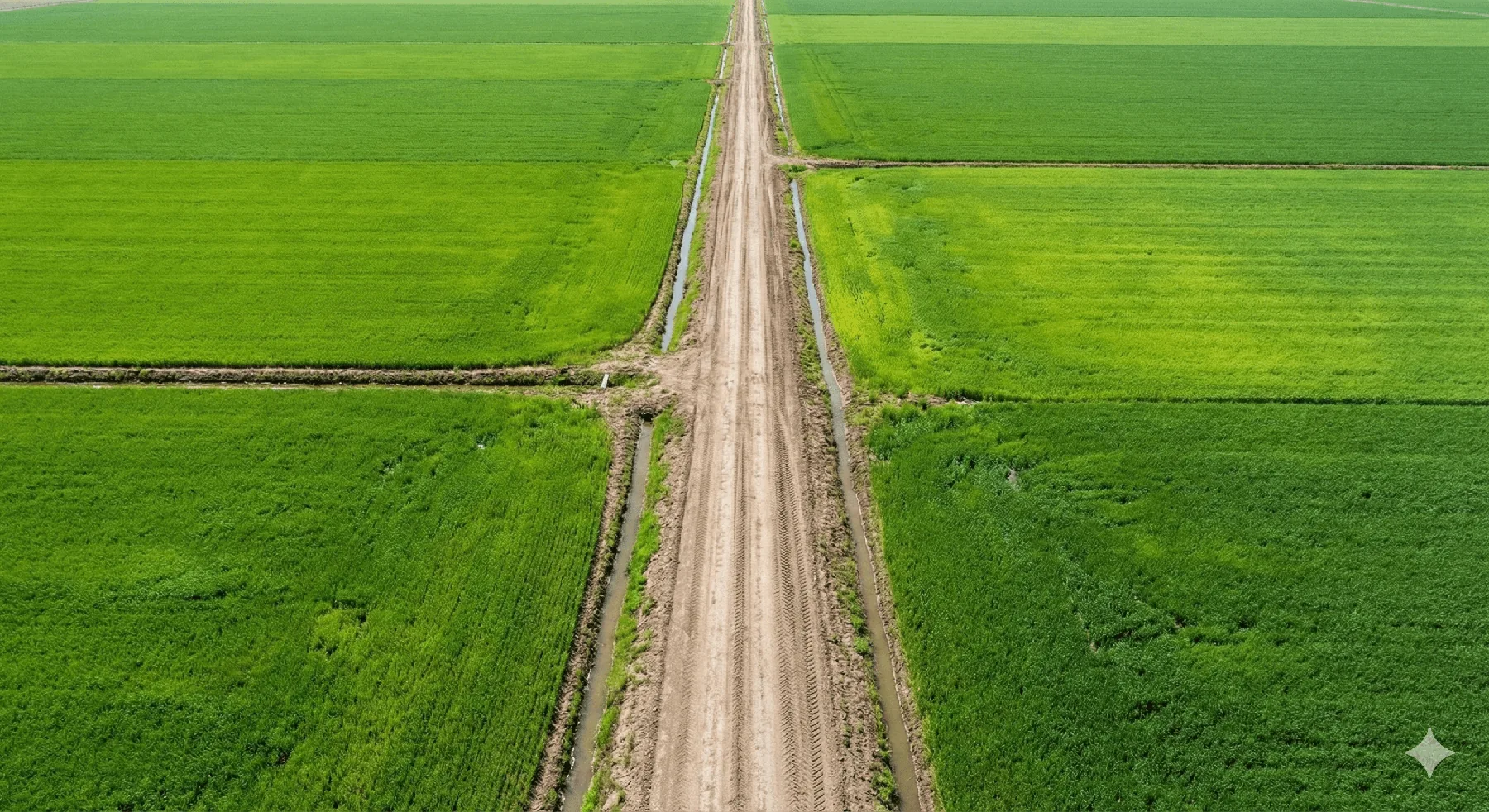
Farming that outlasts climate change
Precise atmospheric control and location-based records raise what your land produces, and put your income on ground that climate change cannot shift.
Resources & insights
A new record where
space meets data
We handed a whole farm over to an AI
An experiment in connecting a farm to an AI so that the two can manage the space together. The AI reads the site through plain language, analyses what the grower asks about, and sets the system up. What kind of advice does it end up giving?
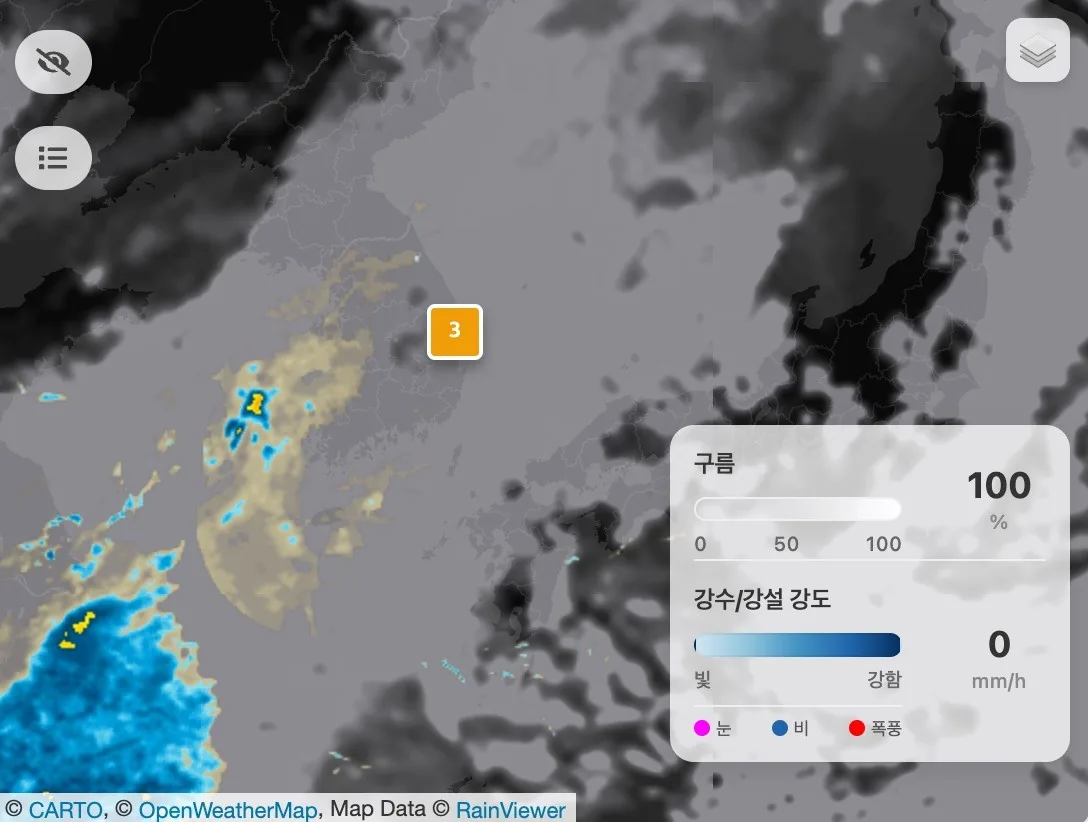
[Insight] Drawing management on a map: giving data its spatial context
Instead of stacks of paperwork and drawings, we draw the land and the equipment straight onto a map, then add photos and notes until the space carries a living context. This is how AoT does digital twins.
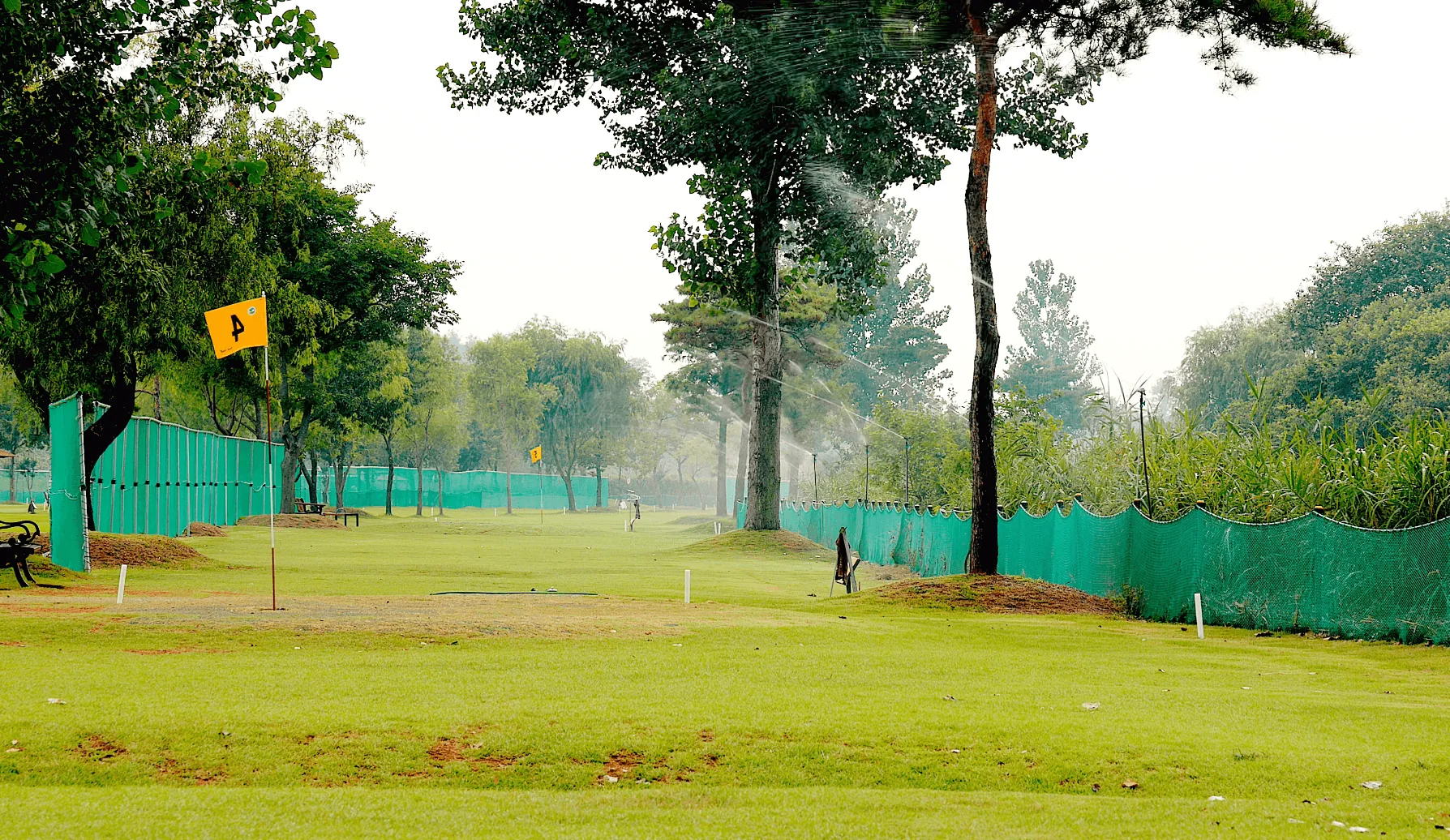
[Project] A 72-hole park golf course ends its watering war with AoT
A 72-hole park golf course is busy with visitors all day long. Watering now runs automatically, and the turf stays healthy.
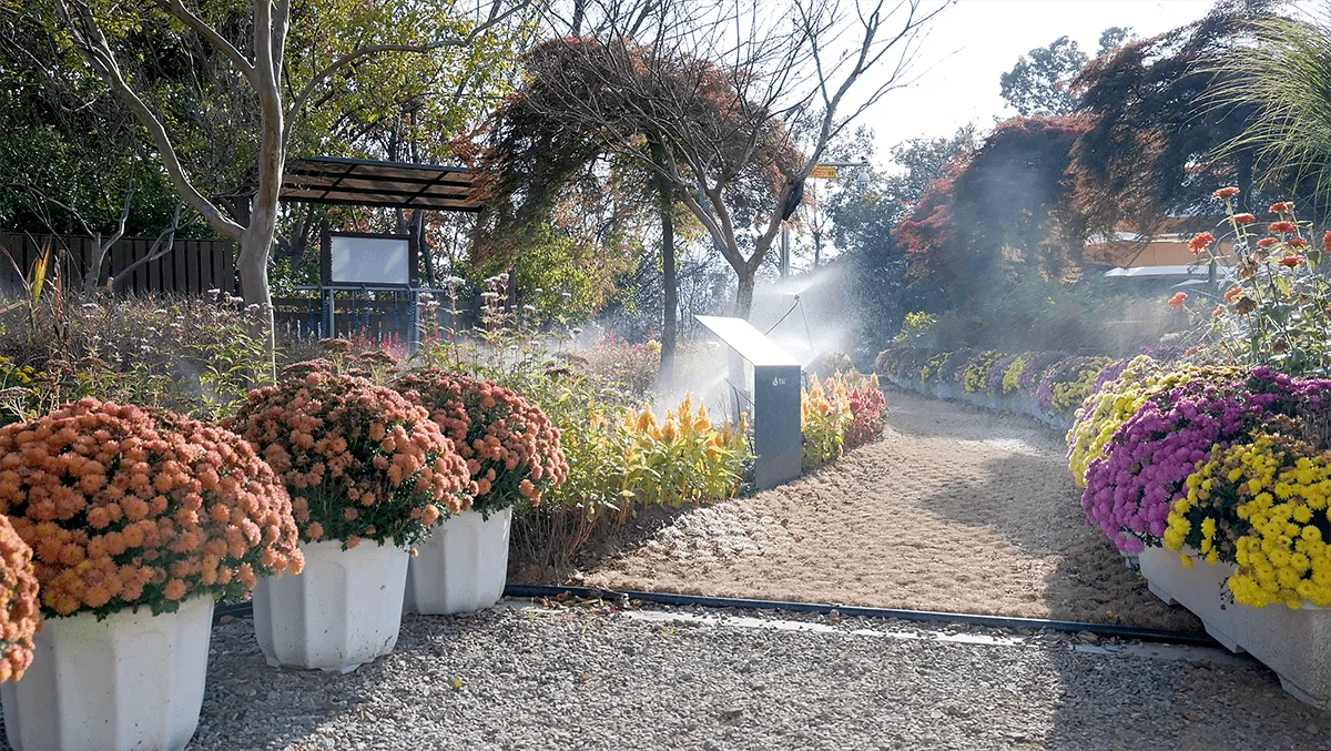
[Project] Running an uninhabited island in the middle of a lake
While everyone sleeps, Bungeo Island on Okjeongho tends itself — with AoT.
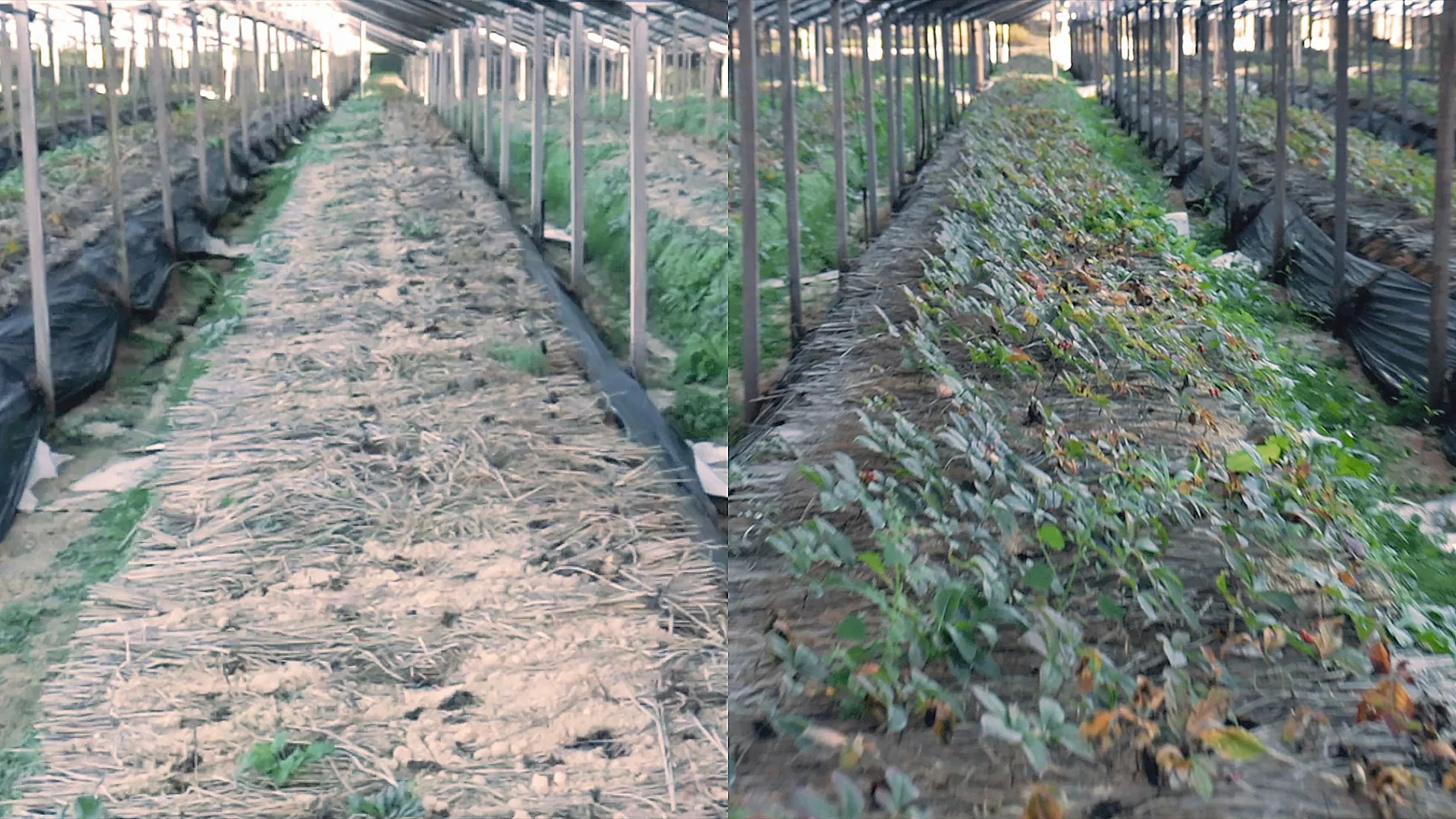
[Project] Keeping ginseng alive through a heatwave: AoT's VPD smart irrigation
When we talk about climate change we tend to fixate on temperature. But what do you do when higher temperature drives relative humidity down?
Benefits
Where digital assets begin
We help the people who wake up the value in spatial resources. Whichever road you have taken — operational efficiency in infrastructure, public safety in transport, or real income from farming — data is the compass, and it points to the surest route.
Digital assets
Build every site asset onto the map digitally, and be fully ready for the smart management systems coming next.

Data that proves it
Objective, satellite-based environmental reports raise your credibility and put you first in line for bigger projects and public partnerships.
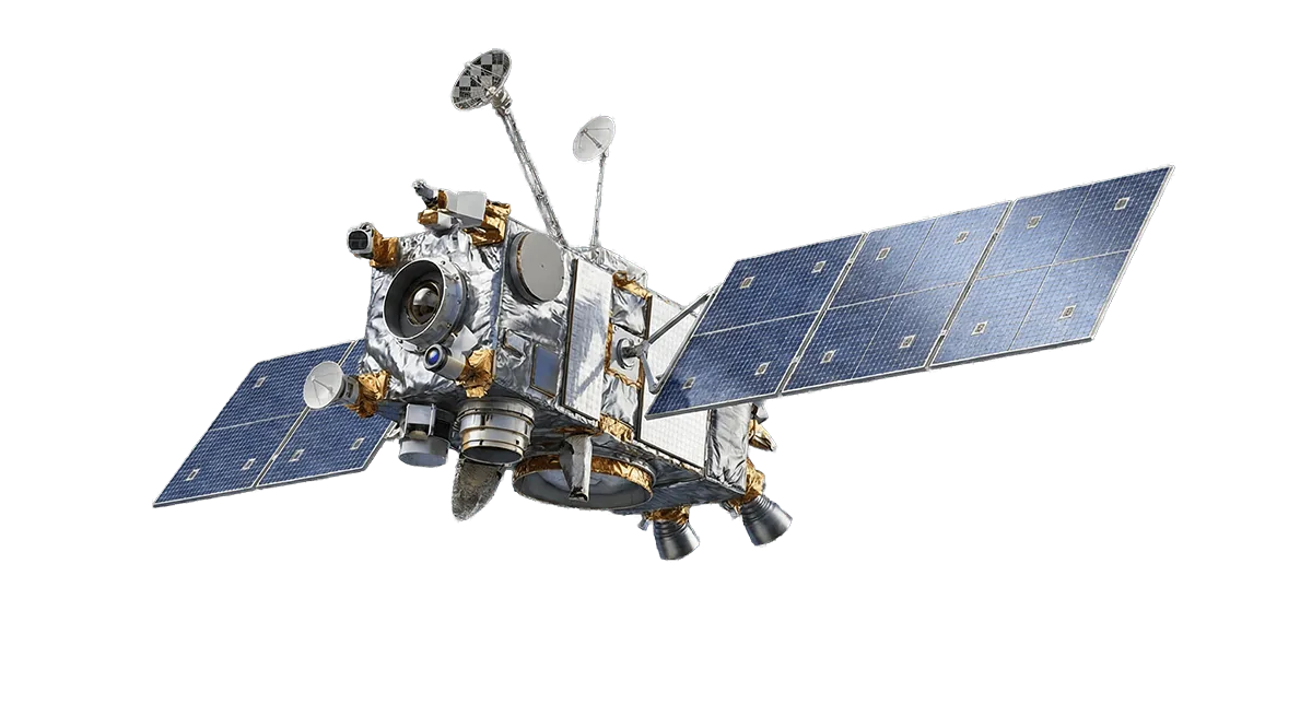
A team of experts
With an intuitive map, anyone on the team can see straight through to what matters on site.

Scale past the limits
Add a digital assistant to the team, and one manager can hold dozens of times more ground.

Reach your goals

53+
Customer satisfaction
Testimonials
Walking it together, trust built on data
Managing outdoor spatial resources is a continuous process, not a short-term fix. AoT is more than a solution: it is a steady partner for the whole journey your assets take as they gain value.
“Once we could see the island's spread-out assets at a glance on the map and manage them remotely, our chronic staffing shortage was solved in one go. We now hold the whole site in view from the office.”

Mr. Jeong
Imsil County
“Walking the whole course every day to water it was hard work. Now automatic control tied to weather data waters at the best possible time. The turf is in better condition and the strain of running the place has dropped dramatically.”

Course manager
Harkwell
“The existing track-sprinkling setup for heatwaves helped us enormously. Seeing this AoT demo, I am convinced satellite-based monitoring will be the smart alternative that takes a great deal of the labour out of a large site.”

Mr. Kim
Track facilities
“Summer heat damage meant plums dropping before they ripened, year in and year out. AoT's environmental monitoring let us hold them at their best.”

Mr. Jeong
Golden Plum Orchard
“Climate change made young ginseng genuinely hard to raise. Every farm around us lost theirs. Ours, with the environment managed through AoT, came through healthy and without heat damage.”

Ginseng field manager
Ginseng farm
About
So that everyone working with spatial resources can meet a more intelligent future, we build precise environmental management systems out of data and conviction.
Find out more

Platform
Learn it, try it, equip for it
AoT is more than the software. There is a place to learn to run it yourself, a place to try it before you install, and a place to get the hardware you need.
FAQ
Frequently asked questions
The questions we hear most often from teams evaluating AoT.
Can you really monitor a site without installing sensors there?
Yes. AoT combines high-resolution environmental data from satellites with weather APIs to track temperature, humidity and air conditions at a given coordinate. You can cover a wide area immediately, with no sensor hardware to buy or maintain. If you do install sensors on site, monitoring and control become more precise still.
Can AoT work with the control equipment we already have?
AoT speaks common industrial communication protocols. Connect an AoT control node to existing irrigation systems, display boards or pumps, and you can drive them intelligently from the map — on a schedule, or against environmental rules such as VPD.
Can someone without a technical background build a digital twin?
Yes. The interface lets you draw management zones and place equipment on the map with mouse clicks — no code involved. It is about as hard as using an online map.
How is the cost calculated?
The software itself is free to use. For AoT's managed service — reliable data synchronisation, satellite analysis bandwidth, and maintenance of the remote-control servers — talk to us and we will work out the details. Plans scale with the size of the area you manage and the number of controlled devices.
Does it work on a phone?
AoT runs anywhere you have an internet connection — phone, desktop, laptop or tablet.
Ready to take full command of your sites?
AoT turns tangled data into a map you can read at a glance, closing the gaps in day-to-day management. Build a smarter, more transparent way to run your spaces.
The software is free. We only charge the actual cost of installation.
Start now with the GitHub repository and the setup guide.